


Map details include GIS data as well as other existing lane closures.
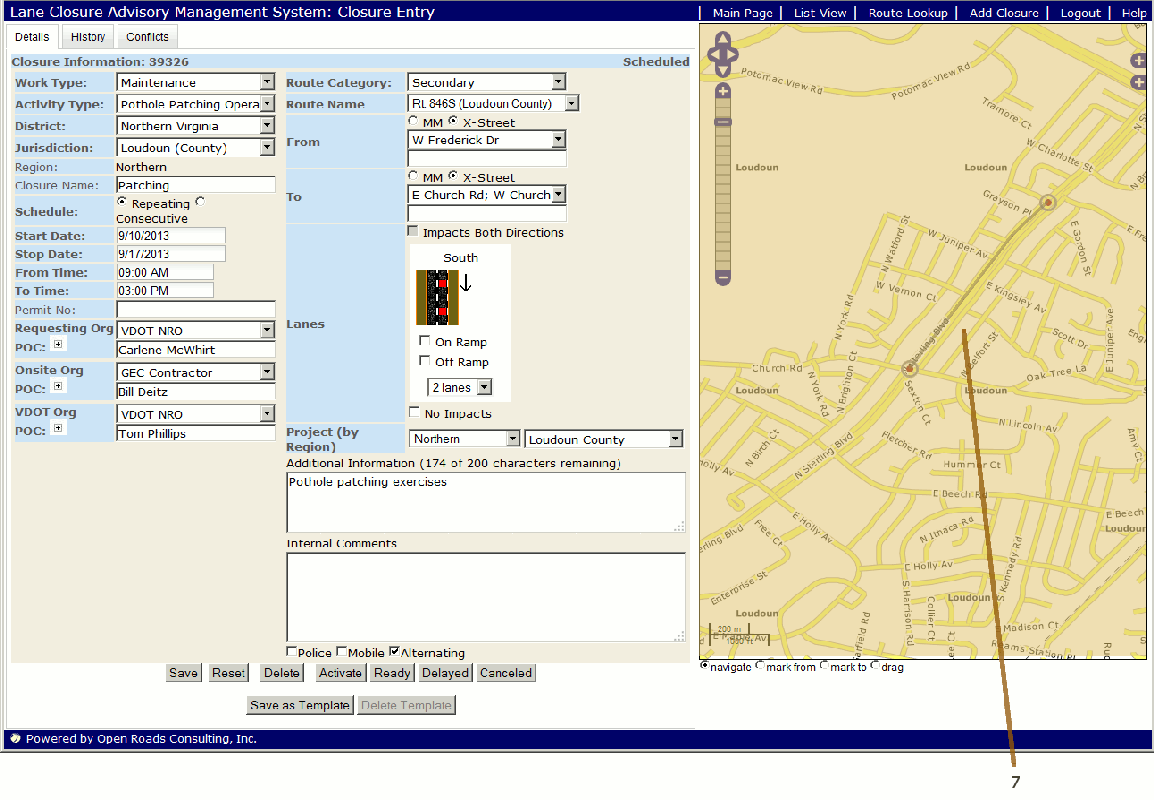
The state of each Lane closures is color coded:
Color of Line Segment |
State |
Green |
Scheduled |
Orange |
Ready or Delayed |
Red |
Active |
Grey |
Canceled |